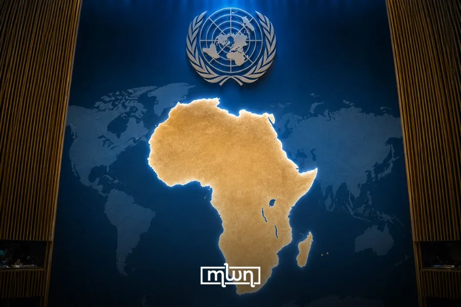
Fez — The United Nations General Assembly is set to vote today on an African-led proposal calling for more accurate world maps that better represent Africa’s true geographic scale.
Draft resolution A/80/L.104, titled “Correct the Map: Rebalancing Global Cartographic Representation and Promoting Equitable Representation of the World’s Regions, Particularly Africa,” is scheduled for action during the General Assembly’s 114th plenary meeting.
The proposal was submitted by Togo on behalf of the African Group. The vote is listed on the UN General Assembly’s official September 4 schedule.
At the center of the campaign is the Mercator projection, a map introduced in the 16th century and designed primarily for navigation.
Transferring a spherical planet onto a flat surface inevitably creates distortion. Mercator preserves direction but increasingly enlarges landmasses as they move farther from the equator.
The effect means regions including Greenland, Europe, and North America can appear much larger relative to Africa than they actually are.
Why Africa wants another map
The African Union formally endorsed the “Correct the Map” initiative during its 39th Ordinary Session in February.
Its decision adopted the “Equal Earth” projection and urged member states to revise national school curricula accordingly. The AU has since outlined plans to encourage its use across education, digital platforms, media, publishing, and international institutions.
Unlike Mercator, “Equal Earth” is an equal-area projection, meaning countries and continents retain their correct relative surface areas.
Its creators developed it in 2018 as an alternative that preserves accurate area while keeping continent shapes visually familiar. The projection and downloadable maps are available through the Equal Earth project.
Supporters of the African initiative argue that the issue extends beyond cartography.
They say repeatedly seeing Africa reduced in size can shape perceptions of the continent’s importance, particularly in classrooms, media, and public institutions.
A successful UN resolution would not instantly eliminate the Mercator map or require every institution to adopt a single projection. Different map projections remain useful for different purposes.
Instead, the campaign seeks international support for representations that communicate the relative size of Africa and other regions more accurately.